 Articles
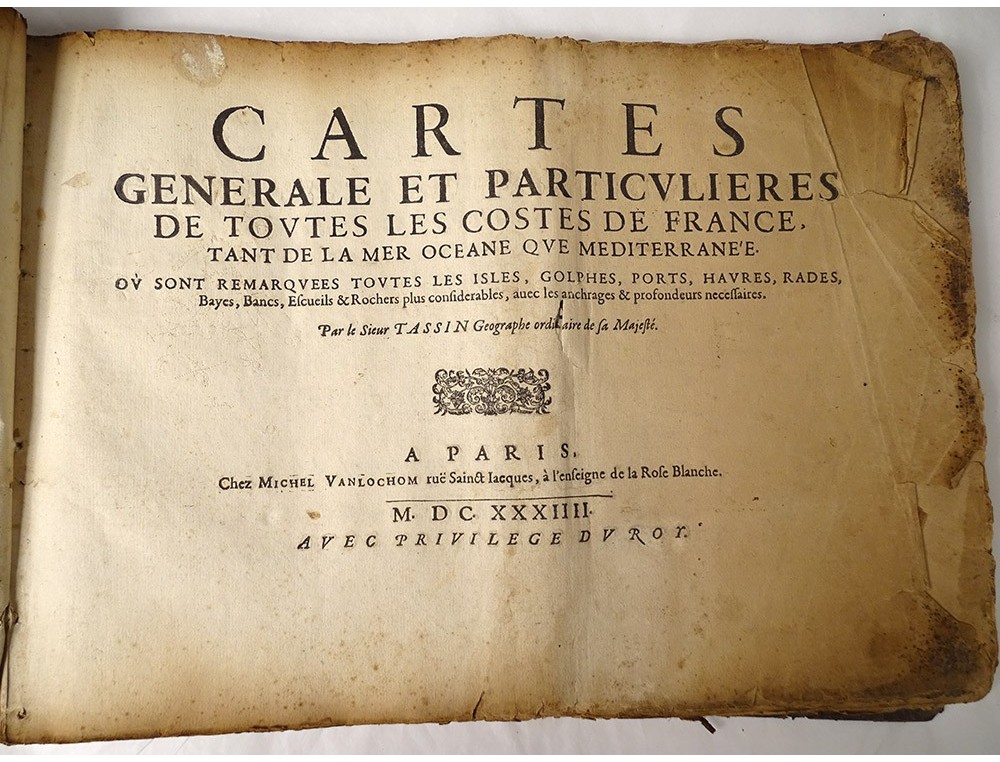
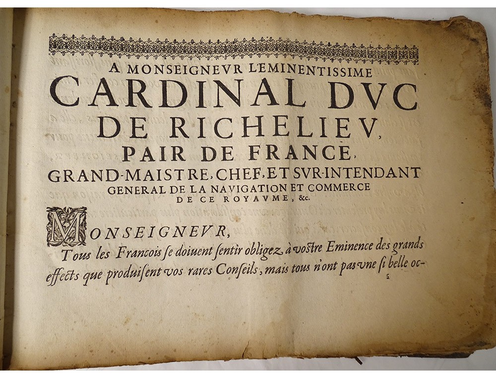
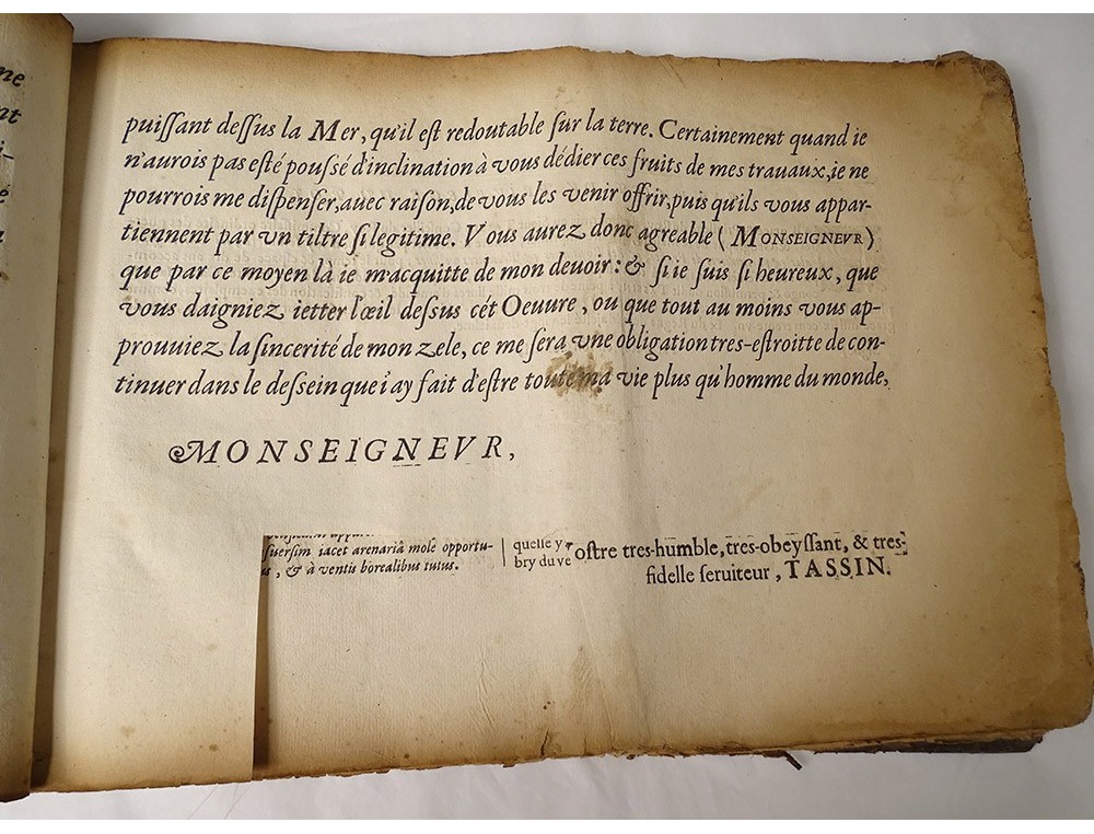
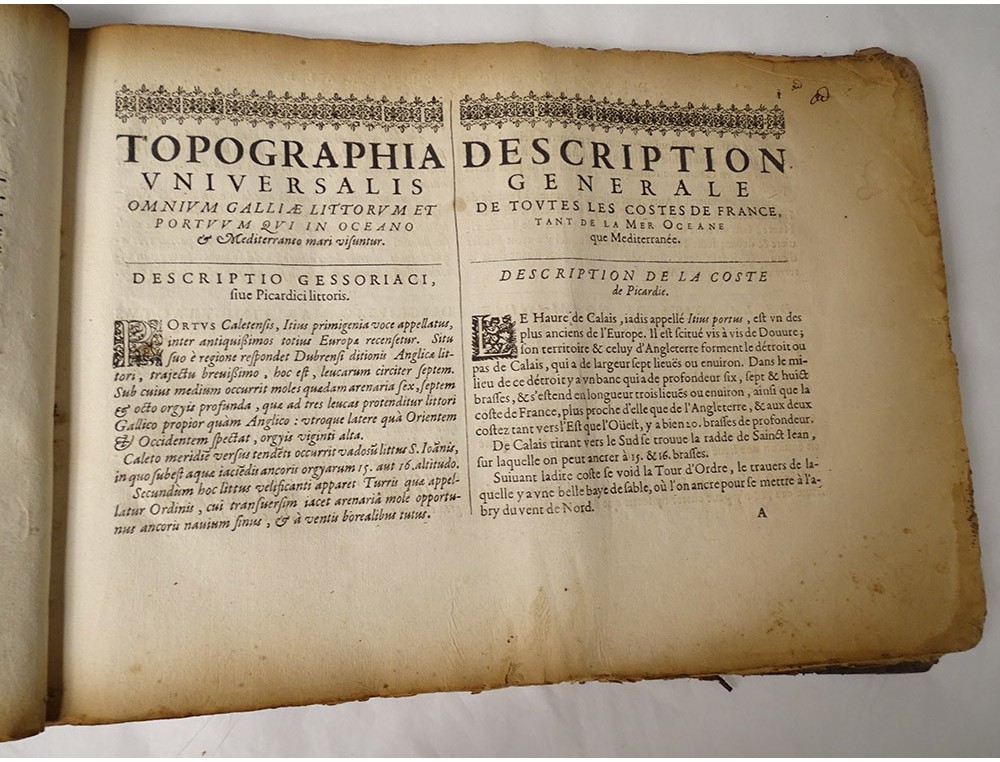
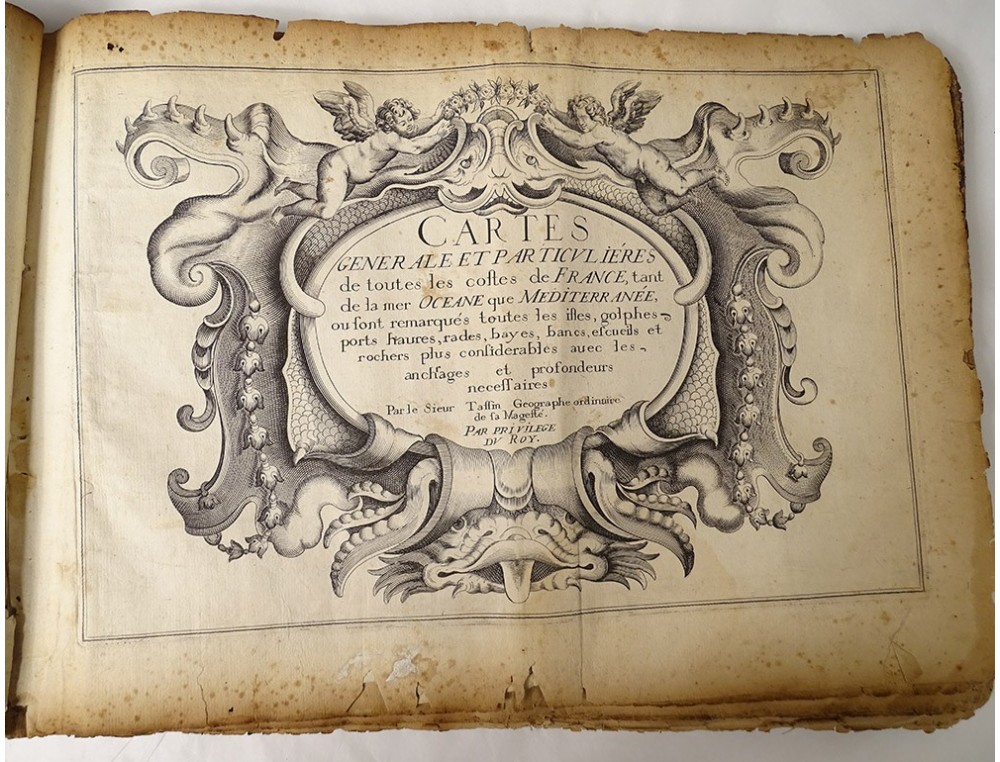
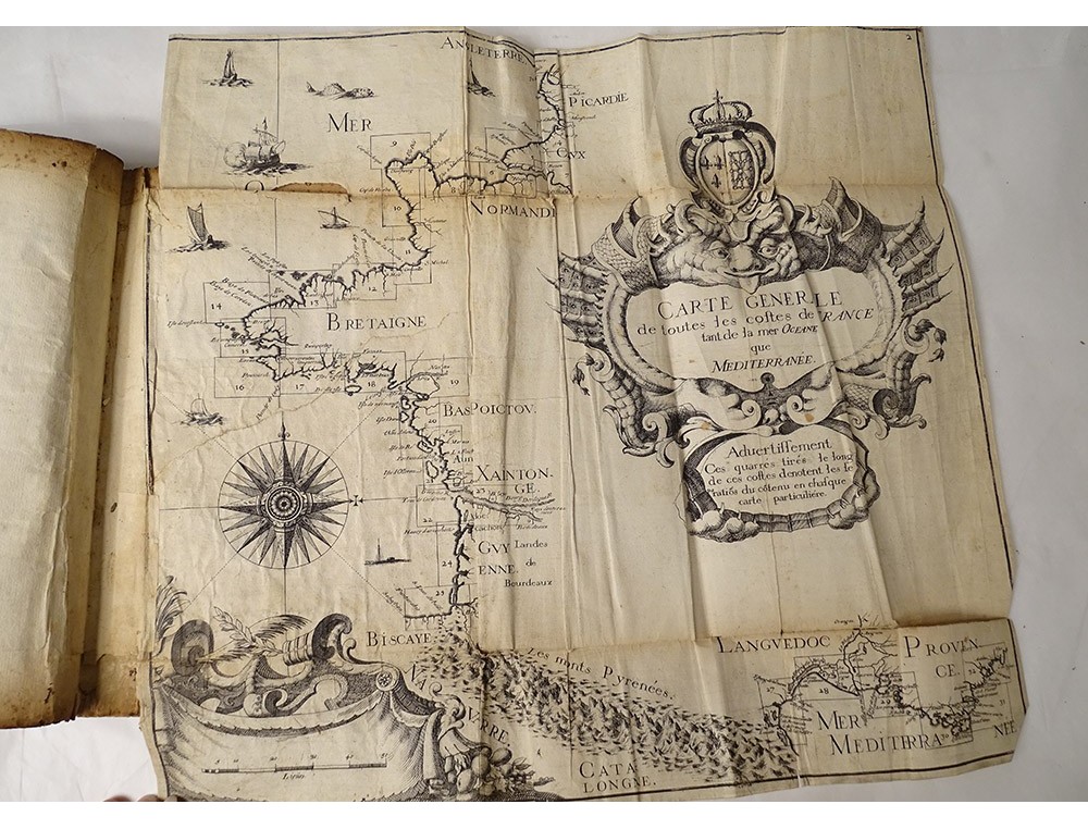
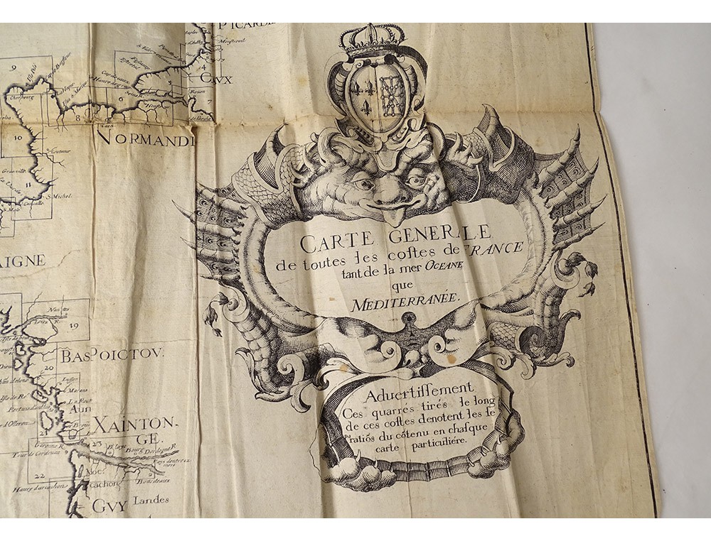
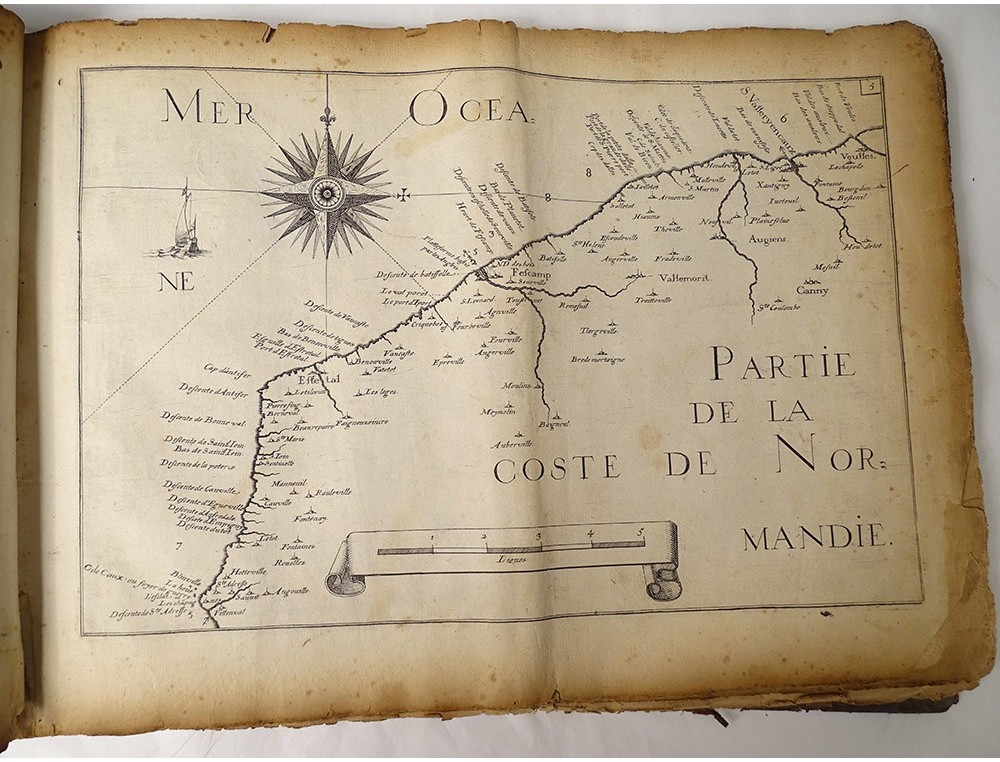
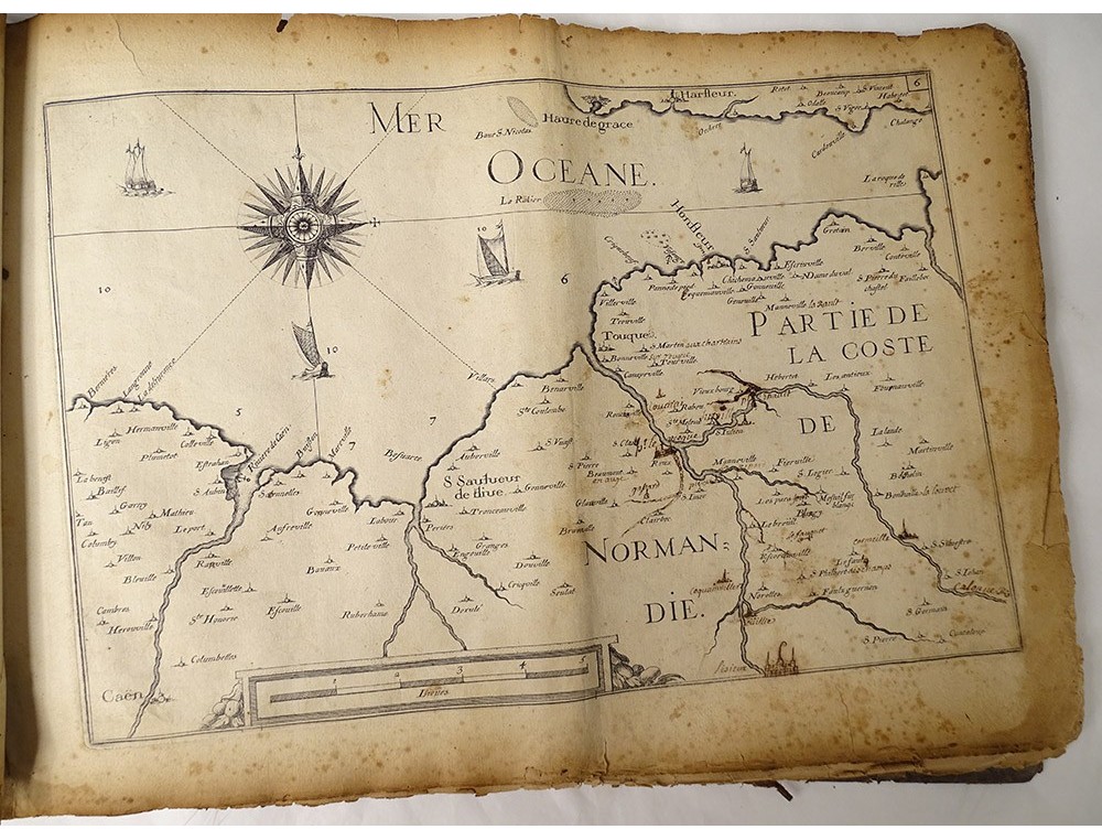
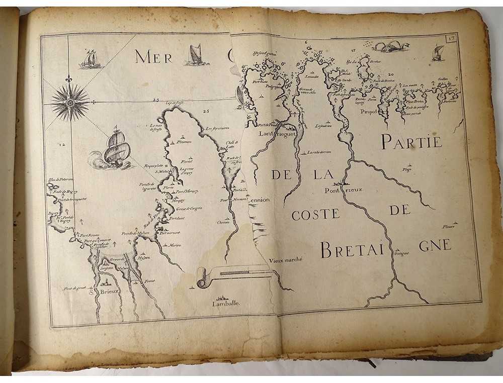
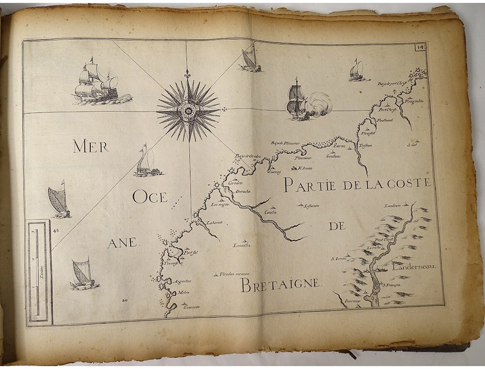
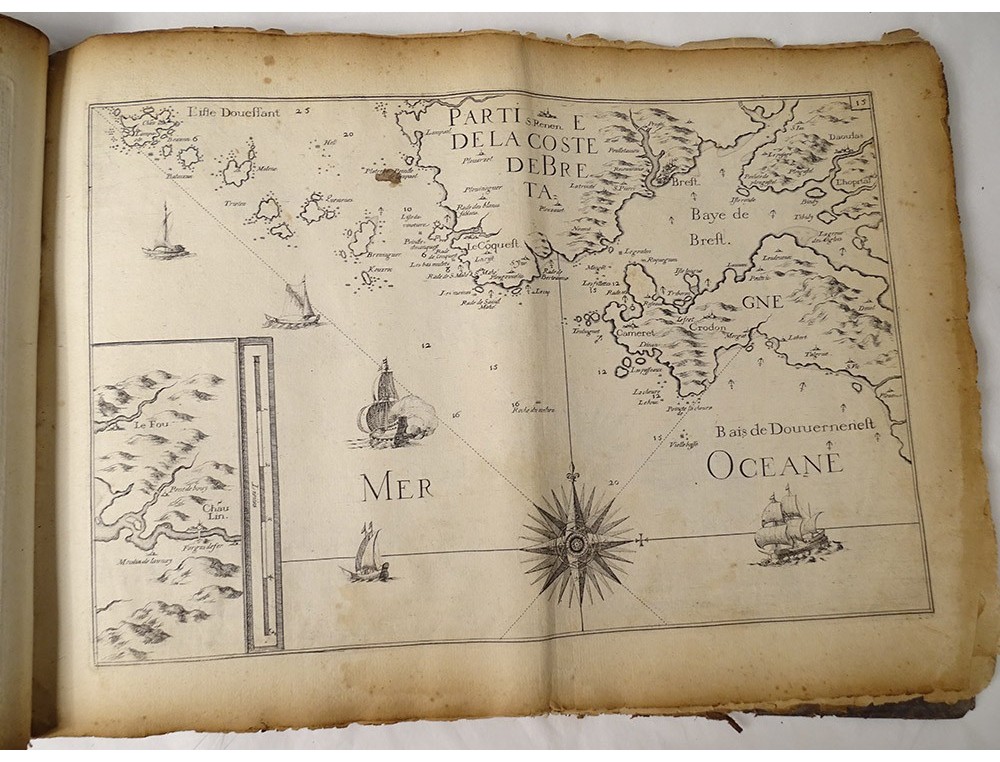
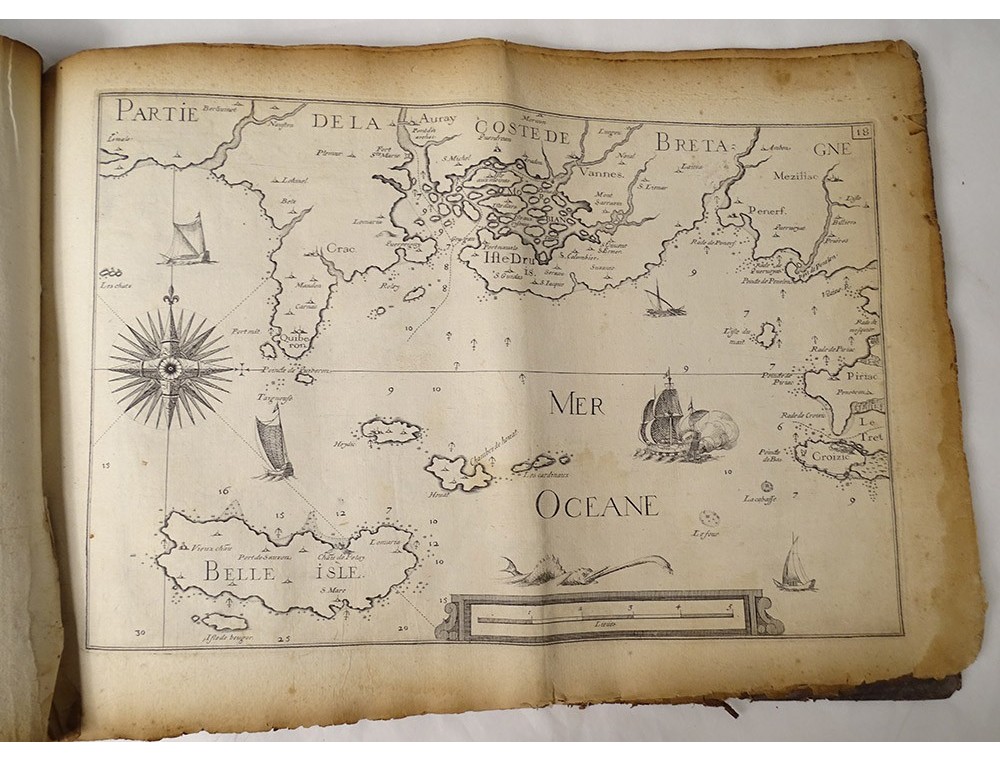
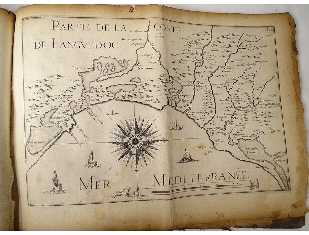
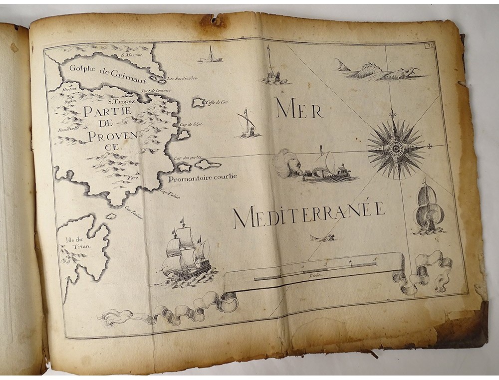
Book entitled "General and Particular Maps of All Costes of France, Both of the Ocean and the Mediterranean Sea" by Sieur Tassin *, Geographer of his Majesty, In Paris Chez Michel Vanlochom Rue Saint Jacques, 1634 with Roy's privilege. Period 17th century.
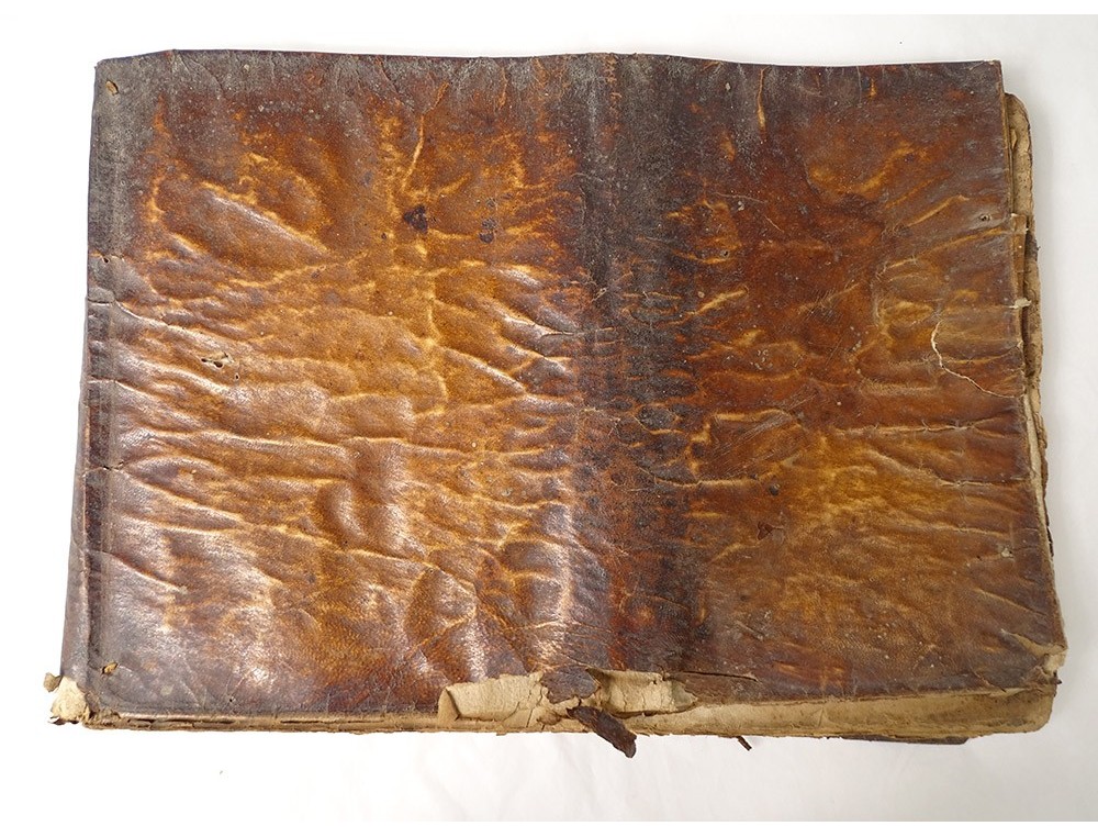
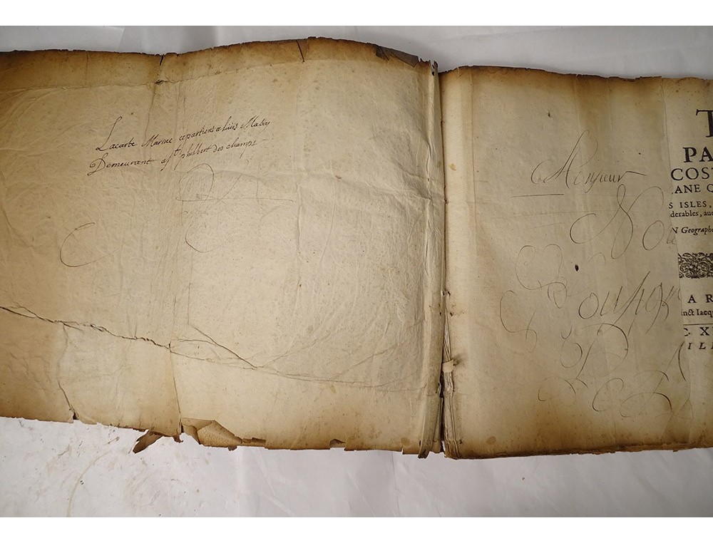
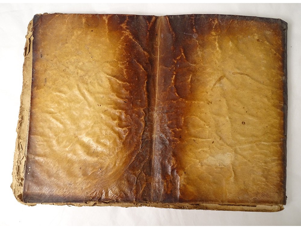
This book is in its own juice. High quality. Vellum cover (soft). Complete with all its cards (29) 1 folded card.
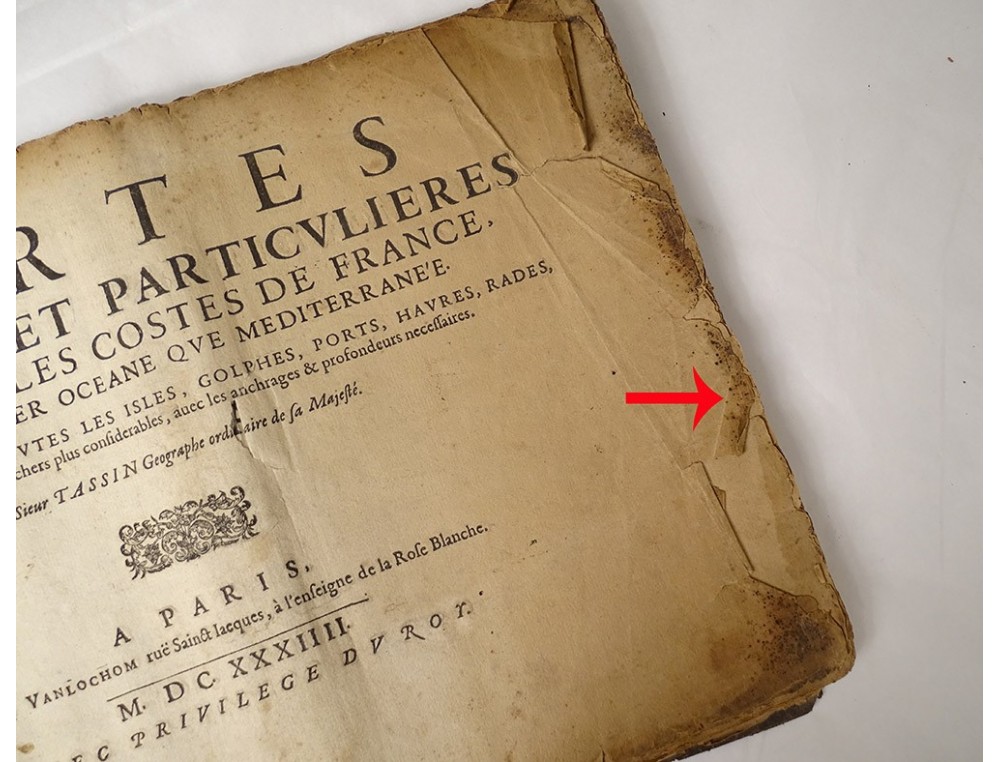
A note: stains, tears and wear of time on the vellum and the inner pages (especially on the outer edges of the pages), look at the photos.
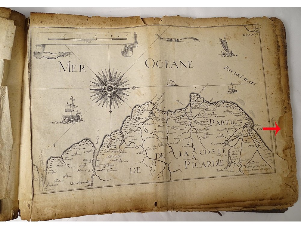
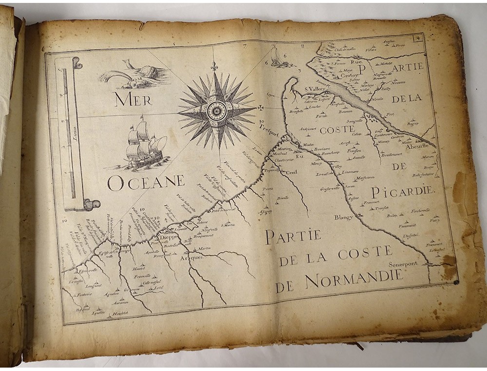
The 29 cards were designed to facilitate coastal defense at the height of the Thirty Years' War. The first part traces the Atlantic coast from Calais to San Sebastian, the second the Mediterranean coast from the Spanish border to Villefranche.
born in the early 1600s and died in 1660, in France, also known as Nicolas Tassin, Christophe Nicolas Tassin or Christophe Le Tassin, French cartographer, known for his atlas of France, Spain, Germany and Switzerland. Most of his work was published in Paris from 1633 to 1635. Among his colleagues we can cite Melchior Tavernier (1594-1665), Sébastien Cramoisy (1584-1669) and Michael van Lochum (1601-1647).