 Articles
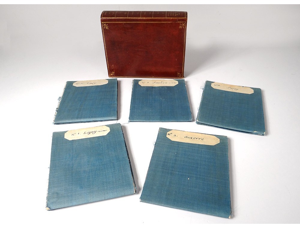
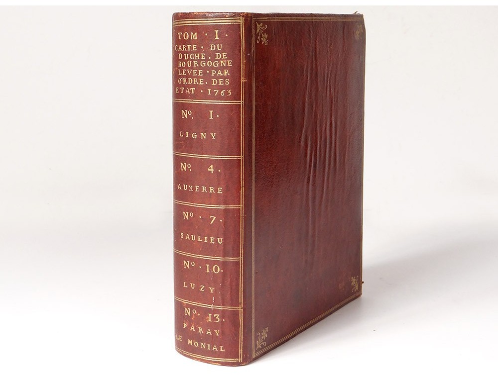
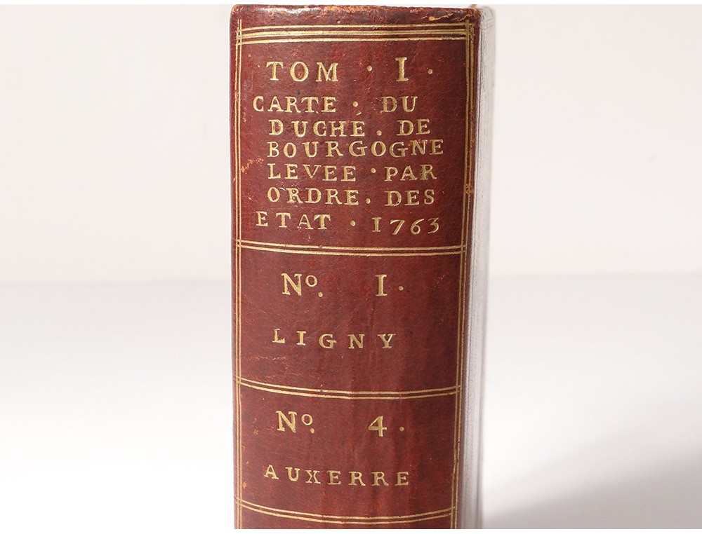
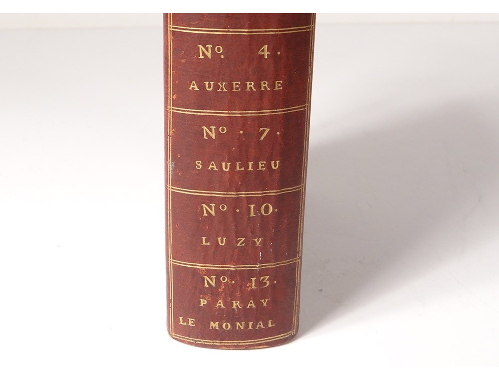
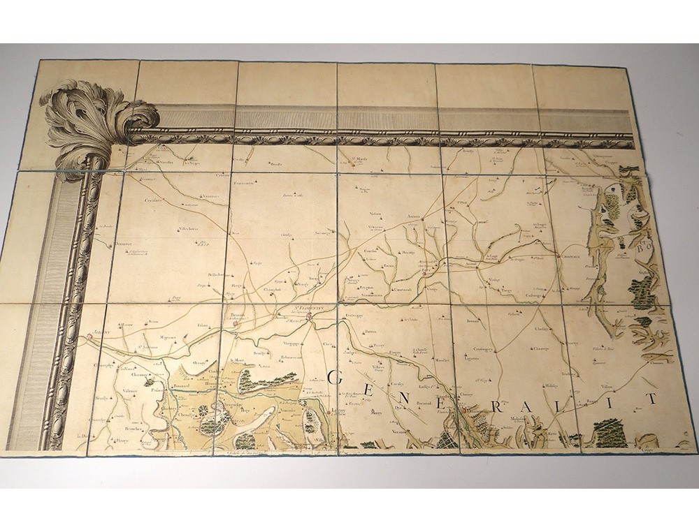
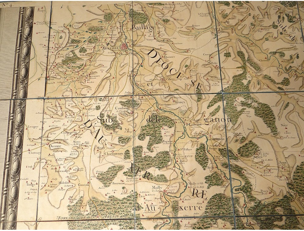
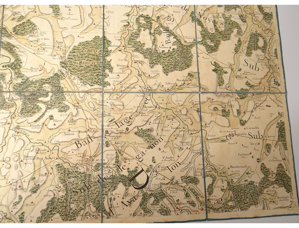
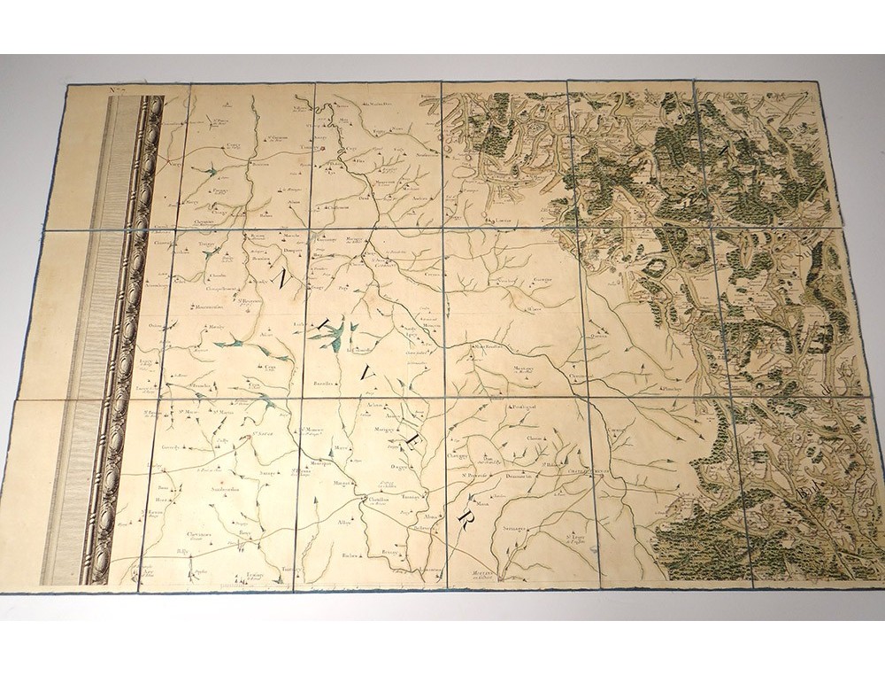
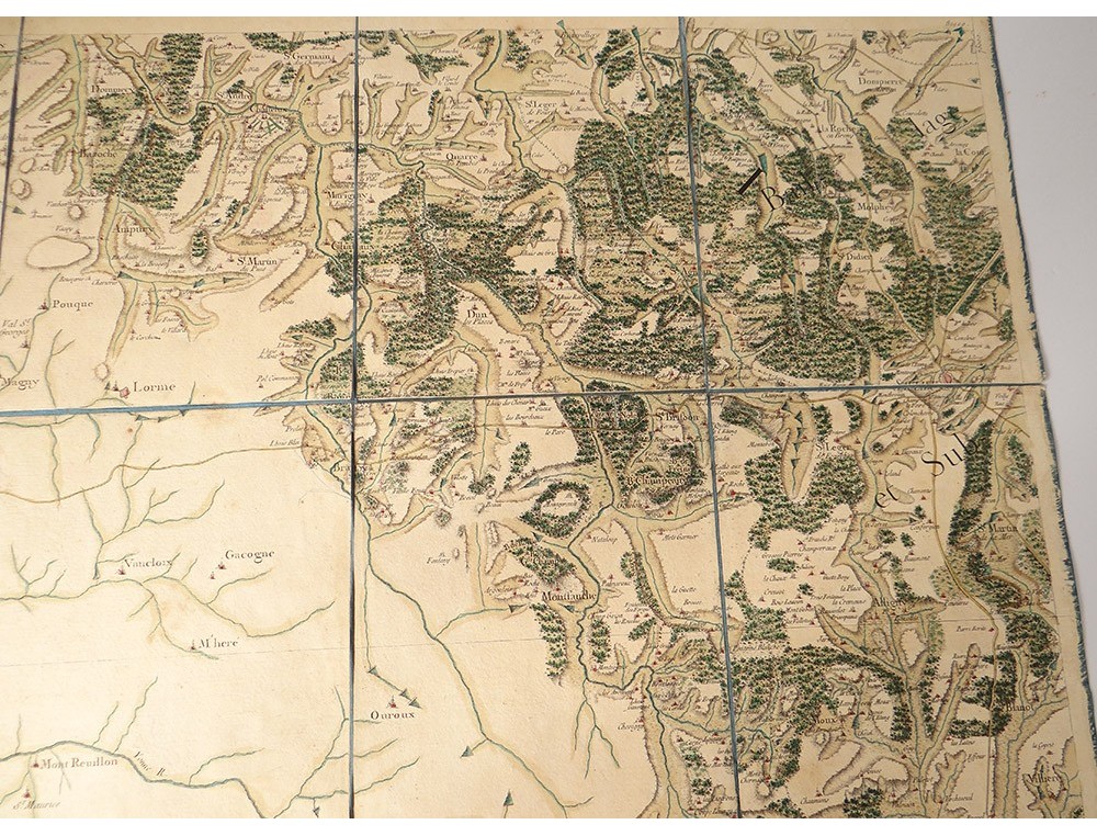
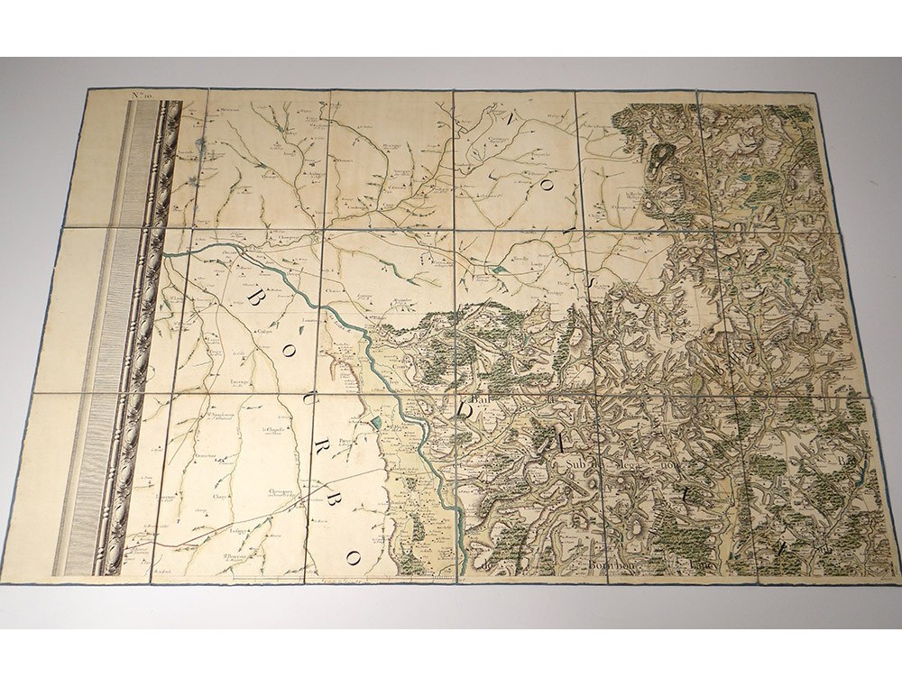
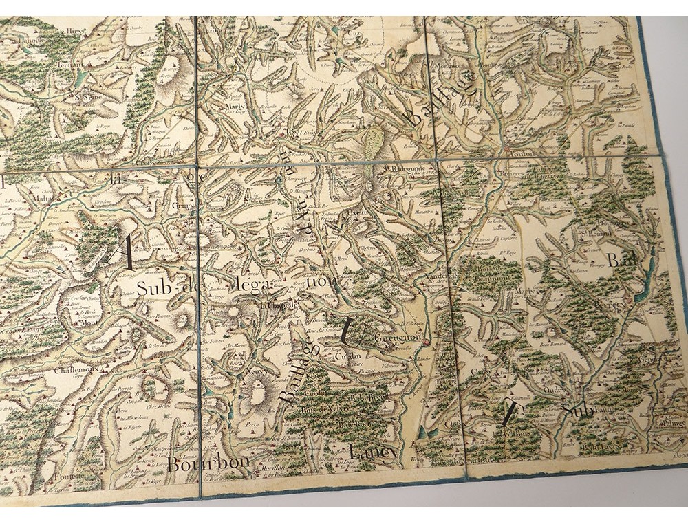
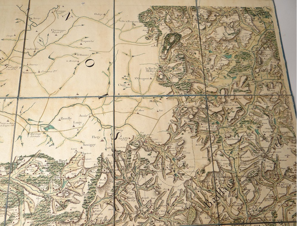
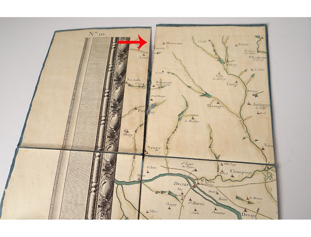
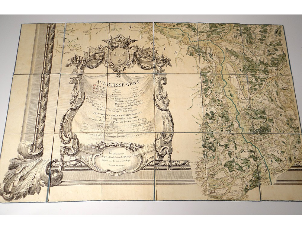
Set of 5 folding cards (entoilées) forming the Particular Card of the Duchy of Burgundy, raised by order of the States, 1763, arranged in a cardboard box in the shape of a book (Volume I), drawn by Seguin *, Geographical Engineer of the King, eighteenth century.
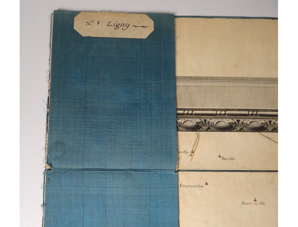
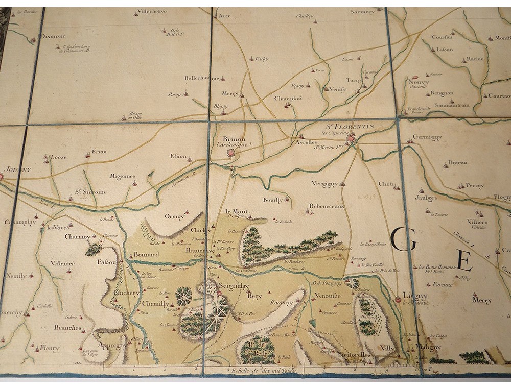
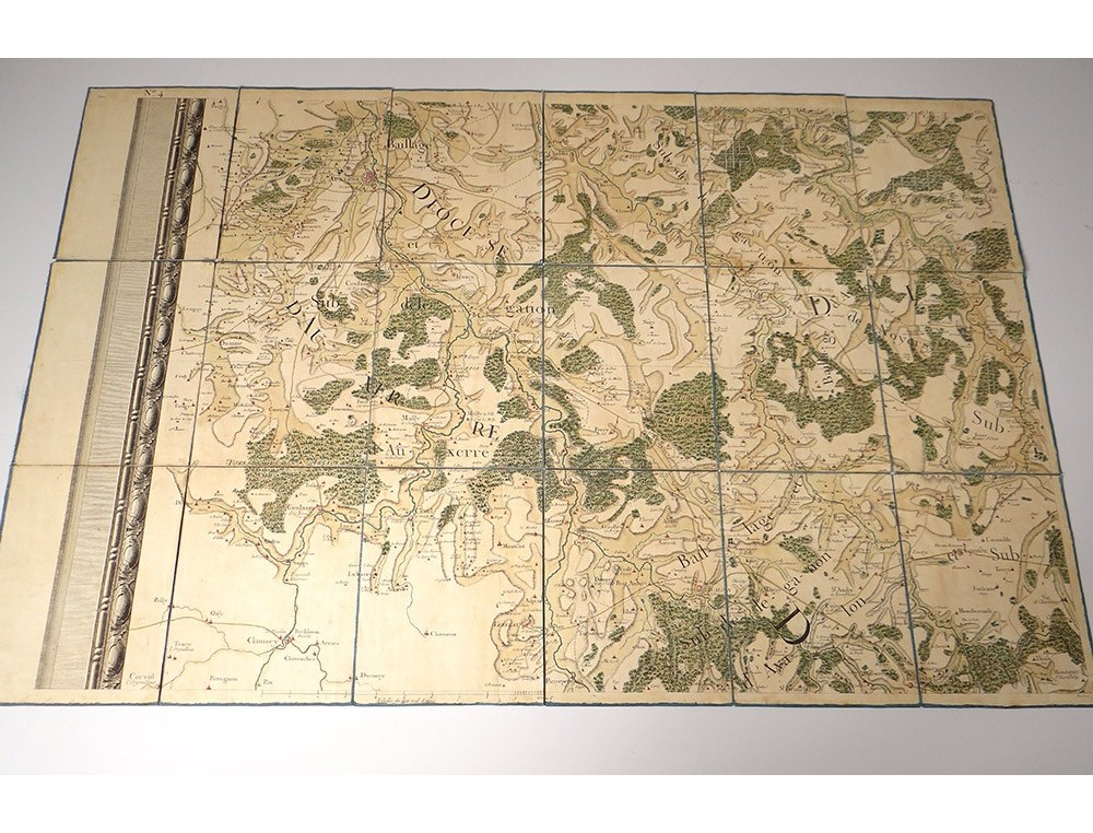
These cards are in their juice and their box. This is Volume I, including map No. I Ligny, map No. 4 Auxerre, map No. 7 Saulieu, map No. 10 Luzy and map No. 13 Paray le Monial.
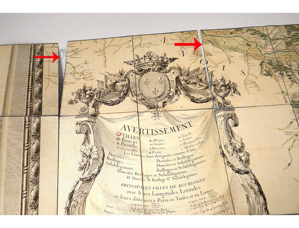
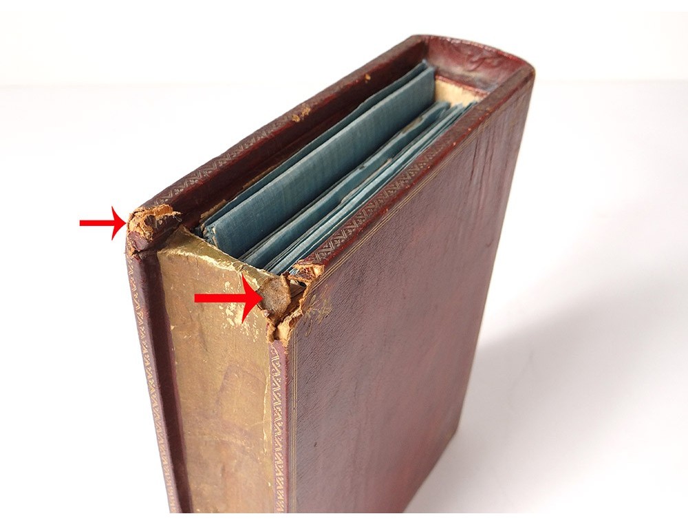
A report: tears and weakness in the folds in cards, some yellowing and stains on the paper (and blue fabric), wear also on the box, look at the pictures.
_______________________________________________________________
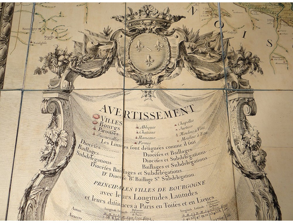
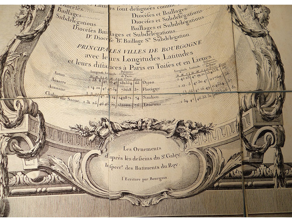
* Designed by Séguin, geographer's engineer of the king, this map of Burgundy, divided into dioceses, baillages and subdelegations, was commissioned by the provincial states of the duchy of Burgundy, as part of the realization of the map of France Cassini. Indeed, Louis XV had expressed the will to establish a General Map of France and entrusted this mission to Cassini Thury. The Cassini - because César-François was relayed to his death by his son Jean-Dominique - performed remarkably over nearly 50 years, establishing the first general and particular map of the kingdom and, from a cartographic point of view , the first to rely on a geodesic triangulation. Some provincial states - and Burgundy first - proposed to Cassini to have the maps of their region drawn up, which obviously interested the cartographer. Besides, these particular maps are often superior, in form and substance, to the corresponding plates of the Carte de France; against those who have sometimes been retouched, they are dated documents (Dainville).